NASA Satellites Assist Turkey and Syria Earthquake Response

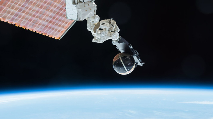
Image courtesy of NASA’s Marshall Space Flight Center under Attribution-NonCommercial 2.0 Generic License, resized to 700 x 391 pixels.
It may seem odd for me to write about NASA satellites, but if you’re a regular reader of this blog, then you know I like to occasionally write about “non-utility” response and recovery efforts. And I think the use of satellites to help with the response to the horrific earthquakes that hit Turkey and Syria is great and provides some interesting insights for utilities in every sector.
The Role the NASA Satellites Played in the Earthquake Response
The 7.8 and 7.5 magnitude earthquakes hit Turkey and western Syria on 2/6/23, and the NASA satellites provided aerial geographic views and images designed to provide guidance to the recovery workers. The satellite imagery basically provided a roadmap for the first responders on the ground.
One of the key elements of the satellite technology is the use of Synthetic Aperture Radar (SAR), which is designed to create revised landscape maps based on terrain shifts or movement of the ground – like a ‘before and after’ view. And the SAR technology can operate optimally in any type of weather condition, day or night.
The before-and-after scenes were used to create a so-called “damage proxy map” for Turkey to easily communicate how the landscape changed. Obviously, this information improved safety for the recovery workers and likely saved lives.
Additionally, the NASA data was comingled with data from the Commercial SmallSat Data Acquisition program, which captures observations from commercial satellites as well as NOAA and international space agencies in Europe and Japan. The result is an added layer of insight that can help, for example, identify areas near the event that may be prone to landslides or aftershocks, or to show the location of power outages. And new functionality launched July 2022 will soon be available to measure methane emissions, adding yet another layer of useful data to assemble a holistic picture of what is happening.
There’s no doubt that the earthquakes represent a full-blown disaster. But thanks to the imagery and insights provided by the NASA satellites, the situation could have been much, much worse.


