New York Wildfire Risk Map Launched

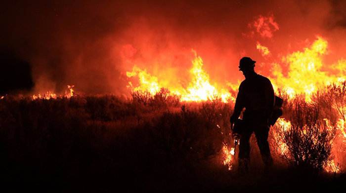
Image courtesy of BLMIdaho under Attribution 2.0 Generic Deed, resized to 700 x 391 pixels.
New York State recently launched a new daily wildfire risk map, the latest indication that the looming threat of wildfire activity is not just a problem in the western part of the U.S. With this new tool, state officials are aiming to communicate critical information to the public, utility companies, and firefighters as rapidly and accurately as possible. Let’s take a quick look at the nuts and bolts of this new tool.
Overview of New York’s Wildfire Risk Map
The new mapping tool was launched in October 2024. It is designed as an early-warning system to inform state residents, stakeholders and officials in real time whenever there is an increased risk of wildfires. This, in turn, allows everyone to get a jump start on planning and mitigation efforts.
The tool utilizes data from the University at Albany’s statewide network of 127 weather stations (called the New York State Mesonet) to produce daily Fire Danger Ratings to enhance preparedness and public safety. Each region’s wildfire risk is assigned one of 5 possible daily risk levels, ranging from low to extreme.
The New York Mesonet is the largest early-warning weather detection system in the U.S., containing at least 1 weather station in every county and borough throughout the state. These stations collect a variety of data points every 5 minutes, including temperature, humidity, wind speed and direction, barometric pressure, precipitation, solar radiation, snow depth and soil information.
The launch of New York’s wildfire risk map is very timely, as the threat of fire activity is at an all-time high and is likely to continue to increase going forward. The ability to inform communities of a potential fire danger well in advance will certainly save lives and is a critical element of emergency preparedness.
Hopefully, other states will follow suit and launch their own version of New York’s wildfire risk map, because this would benefit everybody, from customers to utility companies.


