Landslide Hazard Assessment Gets a Boost from NASA
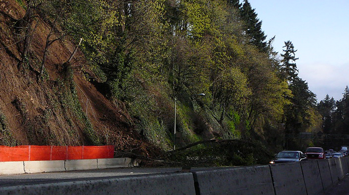
Image courtesy of Thomas Le Ngo under Attribution-NonCommercial-NoDerivs 2.0 Generic License, resized to 700 x 391 pixels.
NASA announced that it has incorporated its Landslide Hazard Assessment for Situational Awareness (LHASA) model into DisasterAWARE, the Pacific Disaster Center’s (PDC) multi-hazard monitoring system. LHASA specializes in mapping landslides triggered by excessive rainfall, and it should serve as an emergency preparedness enhancement for utilities, government agencies and communities.
The Importance of Landslide Hazard Assessment
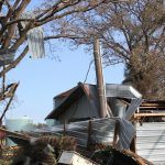
Landslides create billions of dollars of damage, and cause thousands of fatalities, every year. Although the impact on developing countries skews the trend a little, landslide damage and deaths are prominent in the U.S. as well.
LHASA is an improvement in how landslides are monitored, mainly because it’s a global, always-on tool – “it works all the time and it covers most regions of the world,” says Robert Emberson, NASA Disasters associate program manager.
The platform utilizes a real-time machine learning model that analyzes factors such as land slope, ground moisture, precipitation levels, local terrain, proximity to faults, and similar factors. The model compares these variables to historical landslides and the conditions that triggered them, identifying patterns that indicate risk.
While LHASA generates the data, PDC’s DisasterAWARE is the tool that allows the data to be easily visualized and incorporated into disaster management plans. The PDC platform uses the data to create visual maps. In all, the tool tracks a total of 18 natural hazards with the objective of providing an early warning mechanism for at-risk communities. This partnership is just the latest of several between NASA and PDC.
The bottom line is that any new technology introduced that helps provide an early warning of natural disasters is beneficial. Although the value of landslide hazard assessment is generally restricted to utilities and communities that are located in mountainous areas, anything that can help any segment of the population must be embraced – as they say, sometimes the whole is greater than the sum of its parts.