How Sub-Kilometer Forecasting Models Are Enhancing Utility Wildfire Decisions
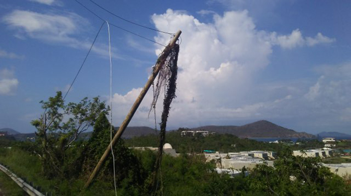
Image courtesy of Western Area Power under Attribution 2.0 Generic Deed, resized to 700 x 391 pixels.
Sub-kilometer forecasting models are revolutionizing how utility companies assess risk and make critical wildfire decisions, particularly concerning Public Safety Power Shutoffs (PSPS).
Historically, utilities relied on broader, less granular data to understand wildfire risk, leading to either overly cautious PSPS events that inconvenienced millions, or insufficient shutdowns that still put communities at risk. The advent of sub-kilometer models changes this paradigm by providing highly localized and dynamic wildfire behavior predictions.
What Exactly are Sub-Kilometer Forecasting Models and Why are They Beneficial?
These advanced models leverage a confluence of data sources: high-resolution topographical data, detailed vegetation maps (including fuel type, density, and moisture content), real-time weather observations (wind speed and direction, humidity, temperature), and historical fire data. For the full set of details, check out this Power Mag article.
Generally speaking, by integrating this information, sub-kilometer models can forecast fire spread with unprecedented accuracy, often down to the neighborhood level. This precision allows utilities to pinpoint specific areas with the greatest risk of ignition and rapid fire spread under prevailing conditions.
The impact on PSPS decisions is profound. Instead of blanket shutoffs across vast geographical areas, utilities can now implement targeted PSPS. This means power may be shut off to only those specific circuits or neighborhoods most directly threatened by an impending wildfire, or those in immediate proximity to high-risk zones with extreme weather. This targeted approach significantly reduces the number of customers experiencing unnecessary power outages, mitigating the economic and social disruptions associated with PSPS.
Furthermore, these models offer a more sophisticated understanding of risk beyond just immediate fire proximity. They can identify areas where vegetation is critically dry and wind conditions are conducive to rapid fire spread, even if a fire is not currently active nearby. This predictive capability allows for proactive risk management, enabling utilities to pre-position resources and issue timely warnings to at-risk communities before a critical ignition event occurs.
In essence, sub-kilometer forecasting models are transforming utility operations from reactive to proactive. They empower utilities to make more informed, data-driven decisions that bolster grid resilience, enhance public safety, and optimize the deployment of crucial resources during wildfire season, ultimately protecting both lives and infrastructure.