Using GIS to Weather the Storm
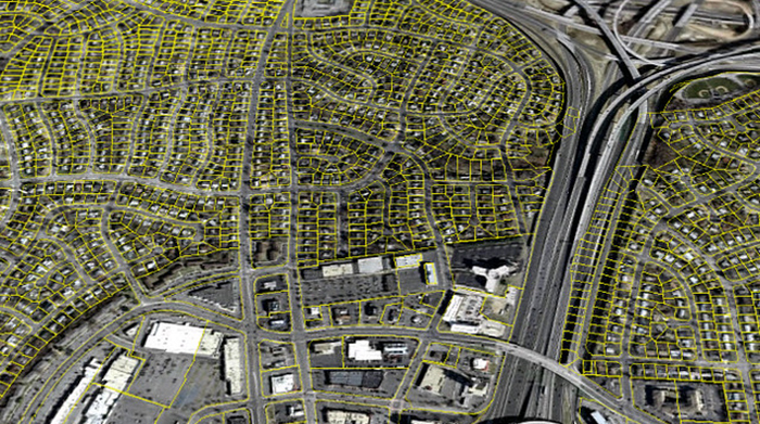
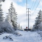
Image courtesy of Fairfax County under Attribution-NoDerivs 2.0 Generic Deed, resized to 700 x 391 pixels.
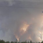
Electric utilities rely heavily on Geographic Information Systems (GIS) to manage transmission & distribution (T&D) assets and provide and maintain reliable service. GIS plays a particularly critical role in storm restoration, increasing the speed with which crews are able to respond.
The Many Utility Use Cases for GIS in Emergency Situations
When an outage occurs, priority #1 is to identify the location and extent of the damage. As a best practice, GIS is typically integrated with the outage management systems (OMS) to pinpoint the affected areas on a map using real-time data from the field (i.e., smart meters, inbound customer calls, field crews, etc.). This provides a clear picture of the situation, allowing utilities to prioritize restoration efforts based on the number of customers affected, critical facilities impacted (hospitals, emergency services), and safety considerations.
In addition to the rapid accumulation of the location and damage data, GIS helps optimize crew routing and resource allocation. Specifically, the technology can provide the visibility and insights necessary to calculate the shortest and most efficient routes for repair crews, taking into account road closures, traffic conditions, and the location of necessary equipment and materials. This ensures that crews can reach the outage locations quickly and safely, minimizing downtime.
GIS also helps facilitate communication and coordination tasks during outage events. GIS-based web apps can be utilized to provide real-time outage information to customers, keeping them informed about the restoration status. Internally, the technology helps coordinate the work of different teams, ensuring that everyone is on the same page. After an outage, the data can be used to analyze the event, identify areas for improvement, and develop strategies to prevent future outages.
In the final analysis, GIS is no longer optional when it comes to optimizing outage restoration – it is mandatory. For a case study, check out how Consumers Energy uses the technology.