Using High-Resolution Modeling to Optimize Outage Restoration
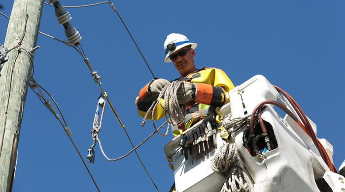
Image courtesy of FirstEnergy under Attribution-NoDerivs 2.0 Generic Deed, resized to 700 x 391 pixels.
The utilization of high-resolution modeling by electric utilities – both outage modeling and flood modeling – can dramatically improve the efficiency of outage restoration efforts. The main reason is that high-resolution outage modeling moves beyond generalized outage maps to pinpoint the exact location and estimated cause of individual equipment failures.
The Business Case for High-Resolution Modeling
Traditional methods, while foundational, often lack the granular detail needed to navigate complex outage scenarios. This is where high-resolution modeling can emerge as a transformative tool, empowering utilities to not only predict but also rapidly address power restoration needs.
Outage modeling utilizes real-time data from smart meters, advanced sensors, and even customer reports, to create a dynamic, up-to-the-minute understanding of the grid’s status. For a utility crew, this means knowing precisely which substation transformer has failed, which distribution line has been compromised, and in some cases, even the specific pole or insulator causing the problem. This level of detail dramatically reduces the time spent on initial fault location, allowing crews to be dispatched directly to the affected areas with the correct equipment and personnel.
Complementing this, sophisticated flood modeling provides an essential layer of situational awareness, particularly in low-lying areas. By analyzing topographical data, historical flood patterns, and real-time weather forecasts, these models predict the extent and severity of flooding across the utility’s service territory. This information is invaluable for proactive decision-making. Utilities can identify substations and critical infrastructure at high risk of flooding and implement preemptive measures, such as de-energizing certain circuits or deploying temporary flood barriers.
The true power lies in the synergy between these two modeling approaches. When a storm system threatens, flood models can forecast which areas are likely to be impacted. This foresight allows utilities to pre-position repair crews, identify access routes that may remain passable, and prioritize restoration efforts in less flood-affected zones. In the event of an outage, the resulting high-resolution modeling can then precisely identify the location of any failed components.