How NOAA Satellites Support Utilities
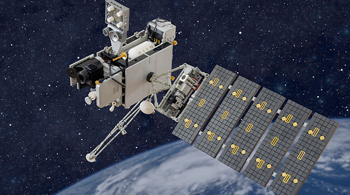
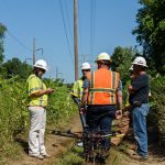
Image courtesy of Rylie Howerter under Attribution-NonCommercial-ShareAlike 2.0 Generic Deed, resized to 700 x 391 pixels.
NOAA satellites are indispensable partners for emergency managers, providing critical data and insights that bolster emergency preparedness, response, and recovery efforts for a wide range of disasters. As such, they also provide beneficial ripple effects for utilities. Let’s explore…
Benefits of NOAA Satellites for Utilities
During the crucial stages of disaster prediction and preparedness, NOAA satellites offer something worth its weight in gold – forewarning. Geostationary satellites, like GOES, provide constant monitoring of weather systems. This allows meteorologists to track the development of hurricanes, track the movement of severe thunderstorms capable of producing tornadoes and hail, and monitor drought conditions.
This data not only helps emergency managers issue timely warnings to trigger evacuations and resource pre-positioning, but it also helps utilities prepare for potential weather-driven power outages and other service interruptions.
When disaster strikes, these same satellites transform into vital real-time information hubs that utilities can tap into for precise, real-time weather updates. For example, during floods, satellite imagery can quickly assess the extent of inundation, identifying affected areas and populations. For wildfire detection, satellites detect heat signatures, which not only helps firefighters pinpoint active fire fronts and monitor their spread, but it also enables electric utilities to isolate power and deploy similar tactics designed to minimize outages.
Beyond visual data, NOAA satellites measure a plethora of atmospheric and oceanic conditions. They track sea surface temperatures, crucial for understanding hurricane intensity, and monitor soil moisture, which informs flood and drought risk and, you guessed it, utility emergency preparedness efforts.
Furthermore, NOAA satellites contribute to communication infrastructure. By providing data that supports the development of accurate weather forecasts and disaster models, they enable better planning for the deployment of essential services, including communication networks that may be compromised during an event. This comprehensive suite of capabilities empowers utility decision makers to allocate resources effectively.
The bottom line is that NOAA satellites aren’t just for emergency managers and first responders. They clearly benefit utilities in all sectors as well, providing them with the ability to conduct both emergency planning and restoration activities more efficiently and effectively.